Explore the county
Five ways to look at the proposed Silicon Valley County: who is in it, what it holds, where the line runs street by street, how the land rises, and where it sits on the earth.
-
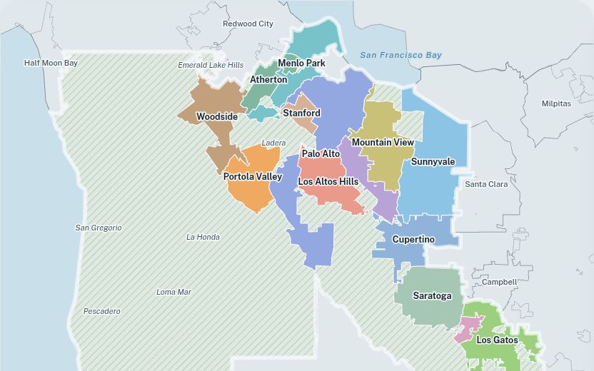
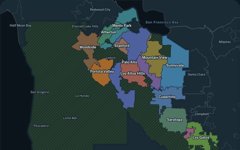
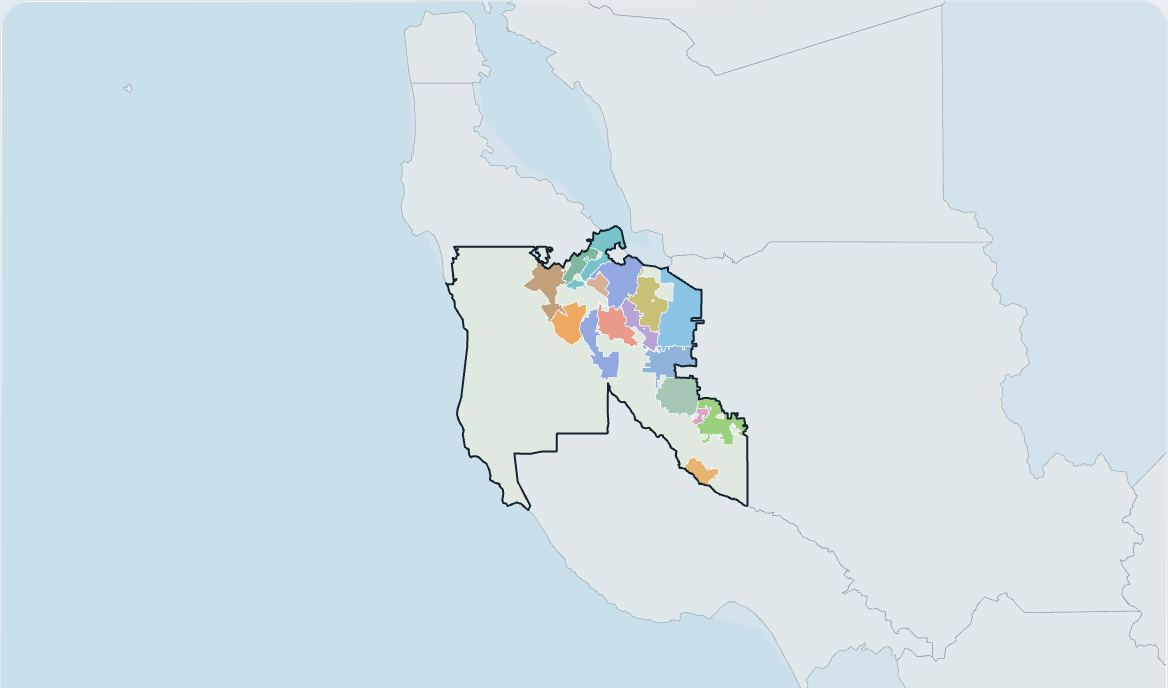
Political map
The fifteen member communities and the unincorporated land between them, with each community's numbers a click away.
D3, SVG -
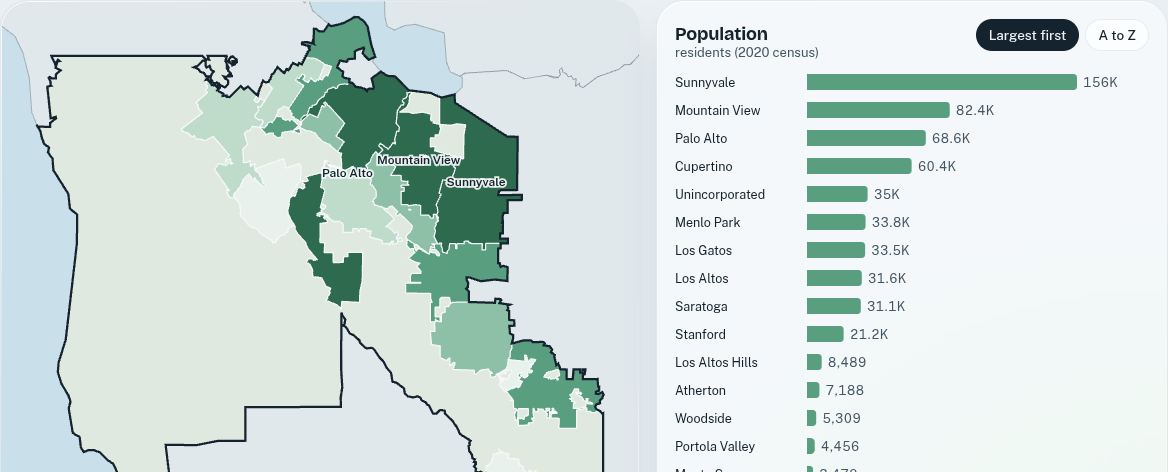
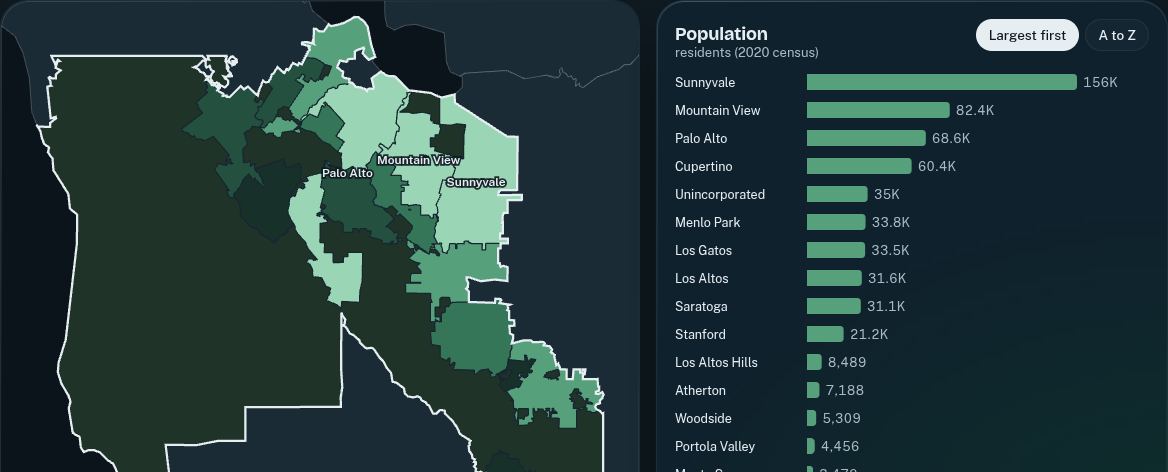
Statistics explorer
Compare communities by population, density, jobs, income and land, on a shaded map linked to a ranked chart.
D3, SVG -
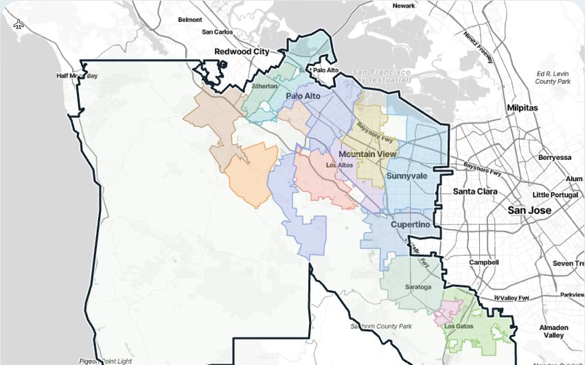
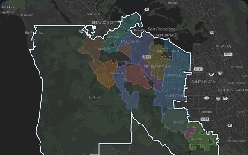
Street map
Zoom to any street and see which side of the county line it falls on, over Stamen terrain, toner or watercolor.
Leaflet, Stamen tiles by Stadia Maps -
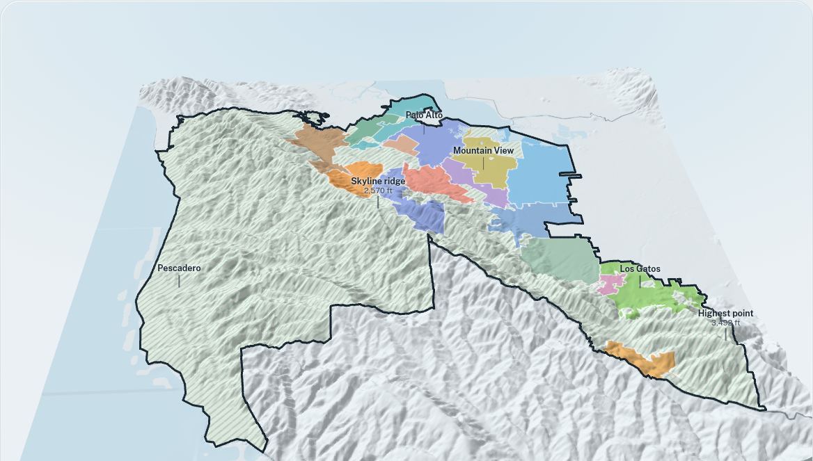
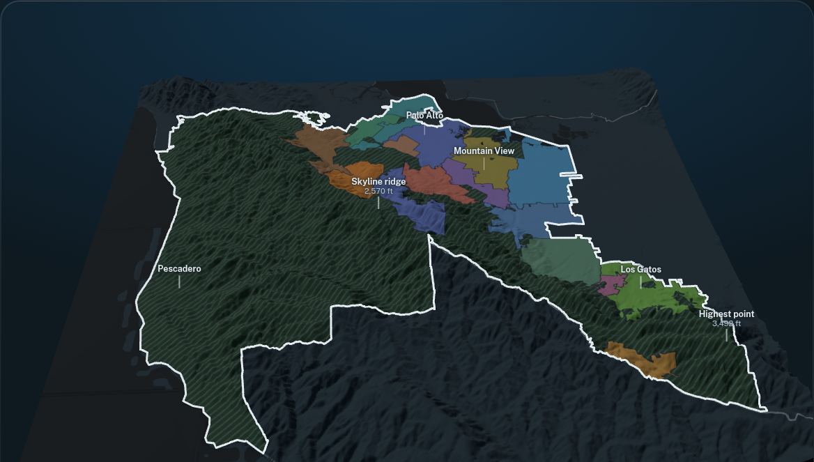
3D terrain
Orbit a relief model from the Bay flats over the Santa Cruz Mountains to the Pacific, with the county line along the ground.
Three.js, WebGL -
From orbit
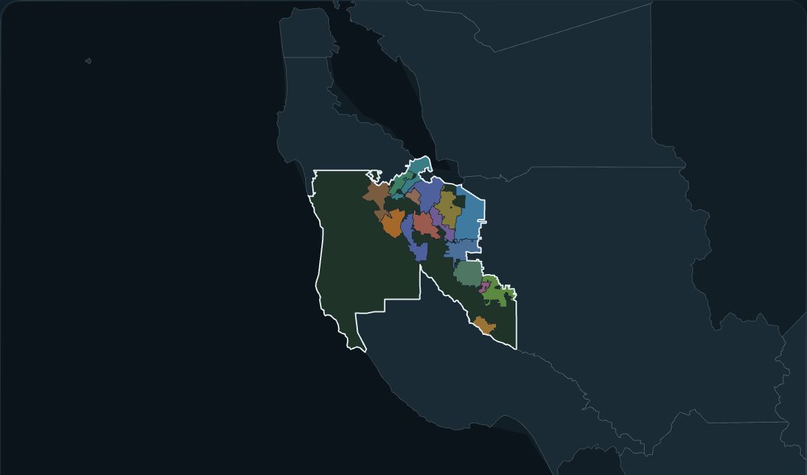
Start with the whole earth and fly in to the county line, its communities resolving as you descend.
D3, orthographic projection